U.S. Navy surveilliance in Archer County
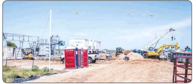
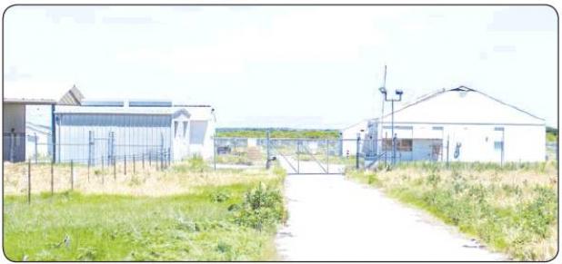
After receiving a few reports of heavy construction going on near the U.S. Naval Space Command Space Surveillance System off FM 2178 some believed the government was revamping the old installation. The station itself tracks objects that pass overhead as small as a basketball. It does not track only detects objects moving over the station in low orbit according to information obtained from FAS.ORG (Federation of American Scientists). After investigating the area and talking with workers at the construction site, all that is going on is regular everyday pipeline work. Neither the installation nor the pipeline construction would affect the Olney Area.
Even so at the Headquarters of Dahlgren, Virginia, Naval Space Command began operations Oct. 1, 1983. It operates assigned space systems to provide surveillance and warning and provides spacecraft telemetry and on-orbit engineering support. Also, ASCC is charged with monitoring the space environment and informing owners and operators of the U.S. and allied space systems of potential threats to their assets by continuous liaison with the systems’ operations centers.
According to the history the Minitrack System was developed in the late 1950s for the NRL Vanguard Satellite Program used the signals emitted by Sputnik and later satellites to determine their positions and orbits. This pioneering tracking system led to the concept of tracking nonradiating, or noncooperative, satellites by signals reflected off them. Although the operational command is now integrated with the Naval Space Command, the sensor system is still in active use as a major component of the North American Aerospace Defense Command (NORAD) and has become the alternate Space Defense Computational Facility.
The U.S. Navy Spasur (Space Surveillance) System is a C.W. fence radar consisting of a chain of stations located on an east-west great-circle path across the southern United States and has three transmitter stations (one high-powered in the center of the chain and two low-powered on the ends for gap filling) and six receiving stations are used in the network. The north-south length of the phase-sensing antennas at two of the sites is 2,400 ft, and the east-west baseline (which sets the angular-accuracy limit) is 1,200ft or approximately 260 wavelengths. Since angle measurements from at least two receiver stations are needed to determine the position and to eliminate false alarms due to meteors or aircraft, the outputs must be collected at a central point and processed. One detection (encoded in digital form) requires fewer than 100 bits. One telephone line from a receiving station to a central control could easily handle 70 or more detections per minute, a rate much higher than would be expected from any foreseeable space population.